|
|
Jay & Nicole's Trip to Panama - Nov. 2006 (click any small picture to get enlargement) |
|
|
|
||
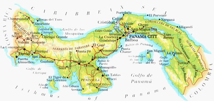
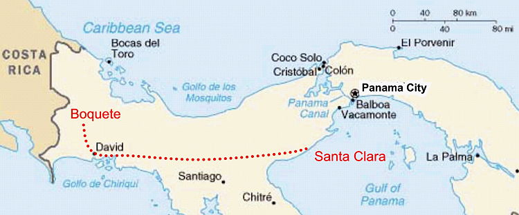
Panama's un-developed eastern side (right) borders Colombia and is dangerous. For that reason we only planned to visit the western side, which borders Costa Rica and had many good reviews. |
||
 |
||
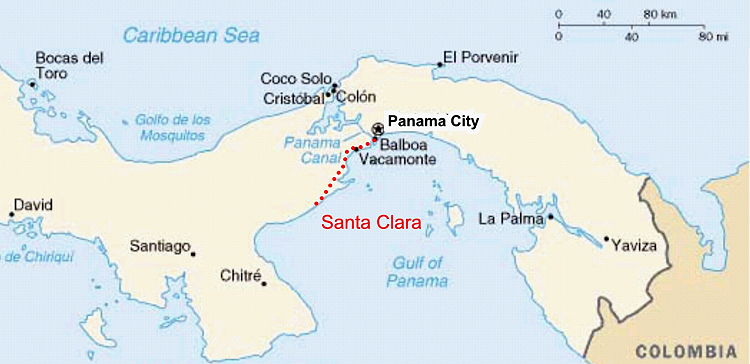
| The dark red line cutting through the middle of Panama is the Pan-American highway; see below: |
||
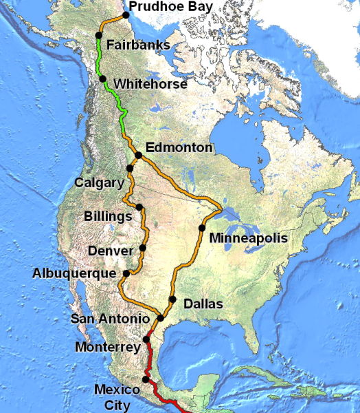 |
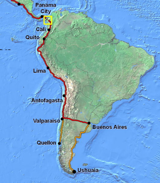
The Pan-American highway links the Americas. The northern point is at Prudhoe Bay in Alaska. The highway progresses though Canada, the US, Mexico, and into Central America. It then travels along the western side of South America, ending in Argentina. The only gap sadly occurs between Panama & Colombia. |
 |
|
|
||
|
We got a late start on our first travel day. It was a National holiday and we decided to sleep late and enjoy a slow breakfast, while viewing the canal. Once on the road, we drove towards the Gulf of Panama. This area was supposed to have nice beaches and good swimming. |
|
|
|
|
||
 |
 |
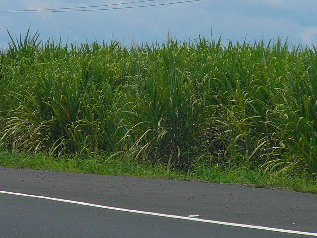 |
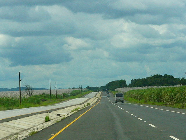
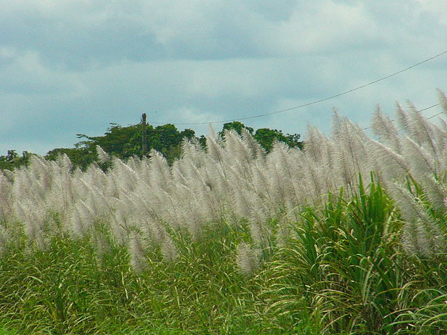
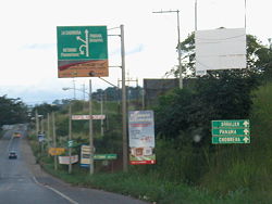
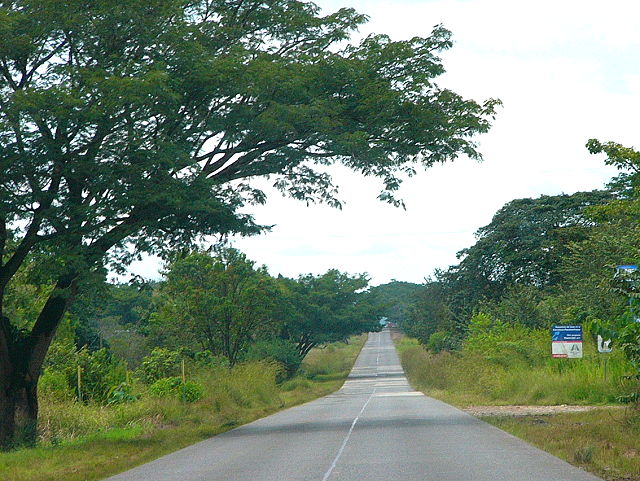
| We found the Pan-American Highway to be in great shape, with sugar cane growing on the sides. | ||
|
|
||
 |
 |
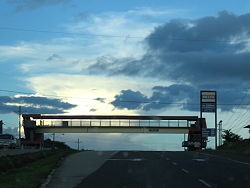 |
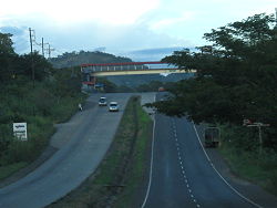
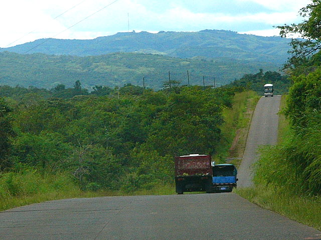
| The signs were good and we never got lost, but we could not drive fast. We discovered that under every overpass, like the ones above, the police had set up hidden radar speed-traps. | ||
|
|
||
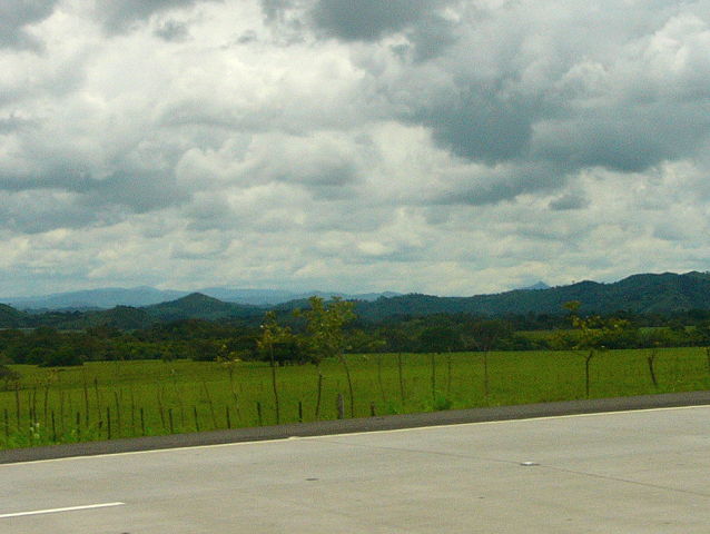
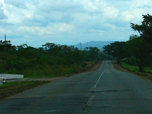
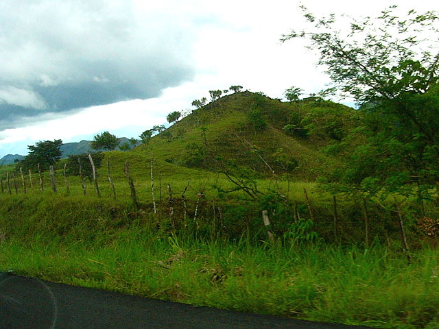
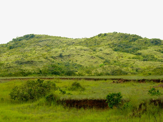
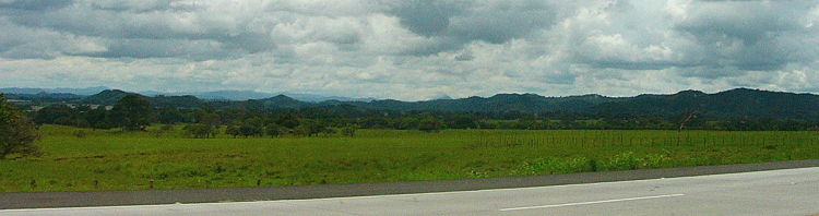 This area was very flat, but you could see the mountains in the background. The land was mainly used for agriculture and for cattle grazing. |
 |
|
|
|
||
 |
 |
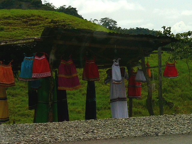 |
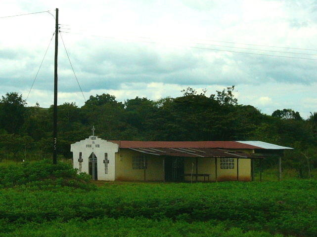
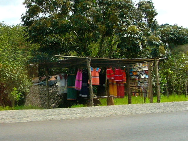
| We saw many Catholic churches and schools. | There were stands along the road in which ladies were selling very colorful articles of clothing. | |
|
|
||
|
We drove for
only a couple hours before we got to the coast.
There were no roads going along the beaches, as there were too many bays and rivers
that would have required expensive bridges. |
||
|
|
||
|
|
|
|
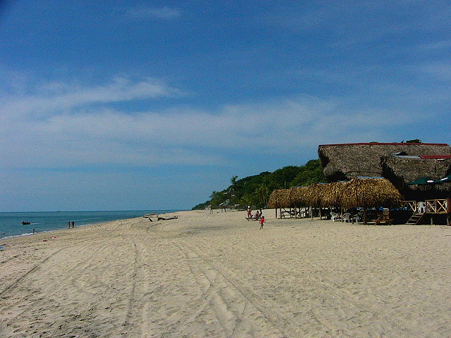
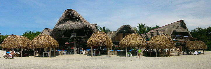
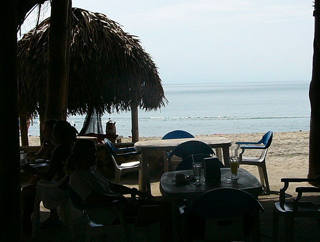
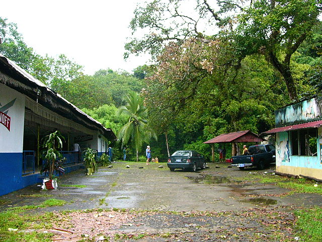
After trying about 2-3 different areas, we finally found a dream-like place. The only problem was that, because of the holiday, they had no rooms available. We told them that we just needed a simple place to sleep in; they looked around and found us a little, closet-like room 100 feet behind the resort. |
||
|
|
||
|
|
|
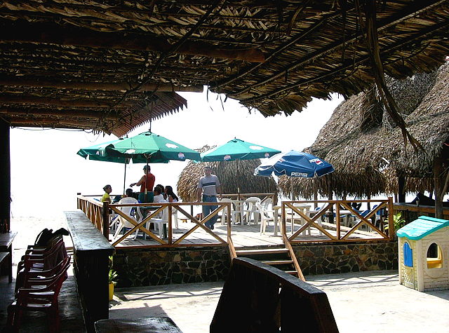
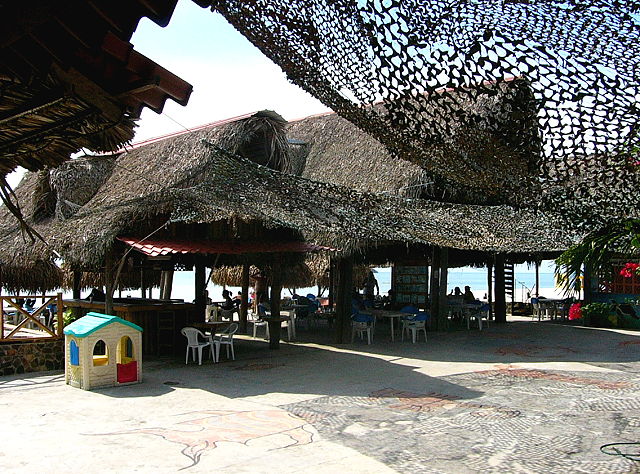
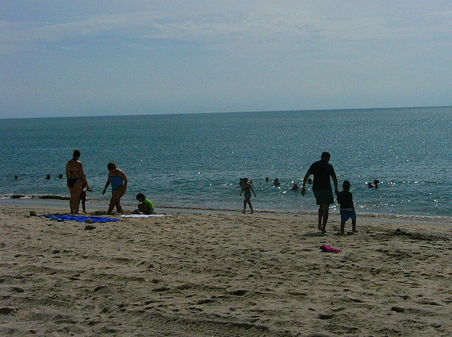
| They had an open-air bar & restaurant. A worker showed us a table and said that we could keep if for the rest of the day ... so we used it as our beach base. The water was warm but there were no waves. | ||
|
|
||
|
 |
|
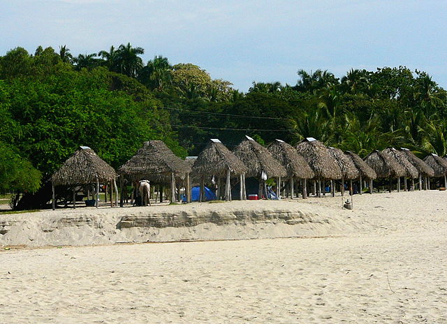
| Up the coast were a few huts that could be rented for the day... but there weren't many people. | ||
|
|
||
|
 |
|
|
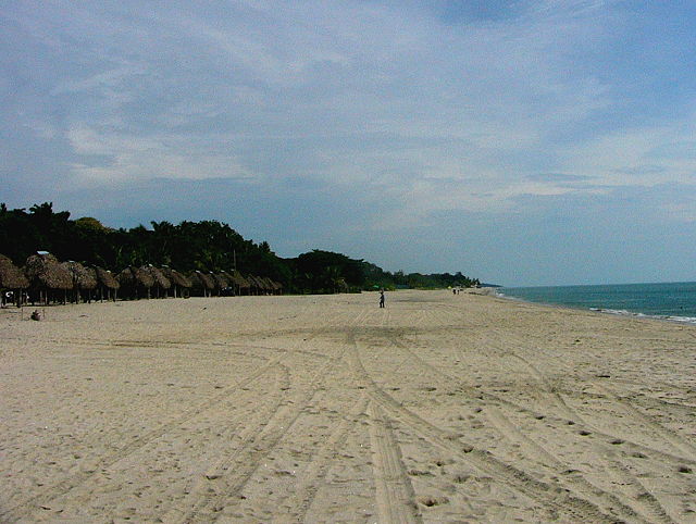
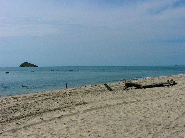
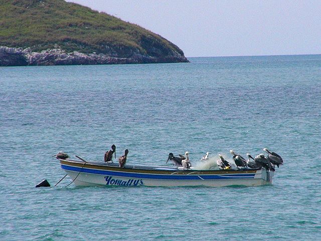
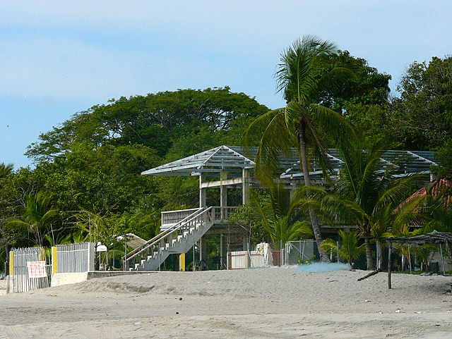
Down the coast it was even
less occupied, with only logs, pelicans and defunct construction
projects. All over the country we saw areas in which major projects got started, but were never finished. We can only guess that investors were betting on casinos, or other big developments, that never came. |
||
|
|
||
| We had a nice dinner and shared a bottle of wine on the empty beach afterwards. I tried starting a bonfire, but the logs were too wet to get burning. There were many holiday parties going on and we had a hard time sleeping that night. The next morning we decided to pack up and continue westward. | ||
|
|
||
| Our plan was to head up into a cool mountain area instead of hanging around the sticky coastline. We read great reviews of a place called Boquete, which is at the end of a road leading from David. It is supposed to be a resort-like area that is booming. |
|
|
|
|
||
 |
 |
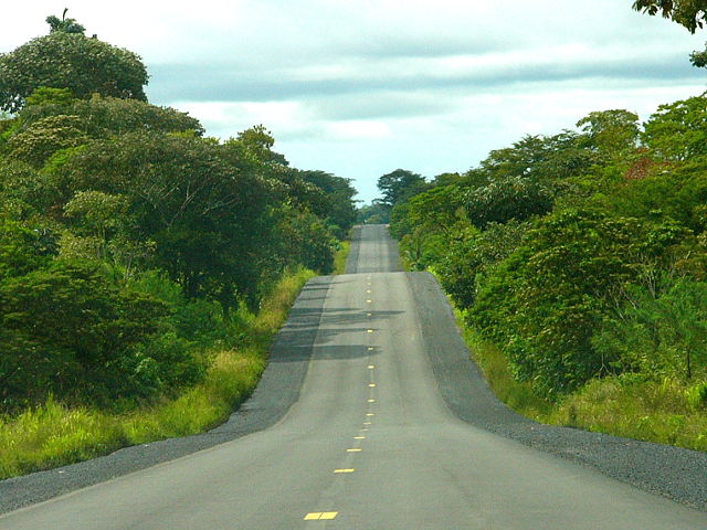 |
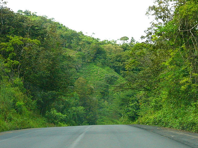
| The road condition began as very poor, with many bumps and potholes. After a long stretch of construction, the highway was newly paved and became forest-lined ... and quite fun to drive! | ||
|
|
||
 |
 |
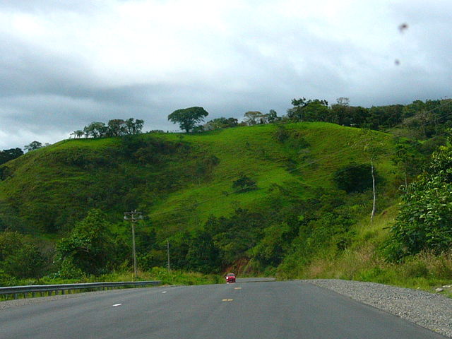 |
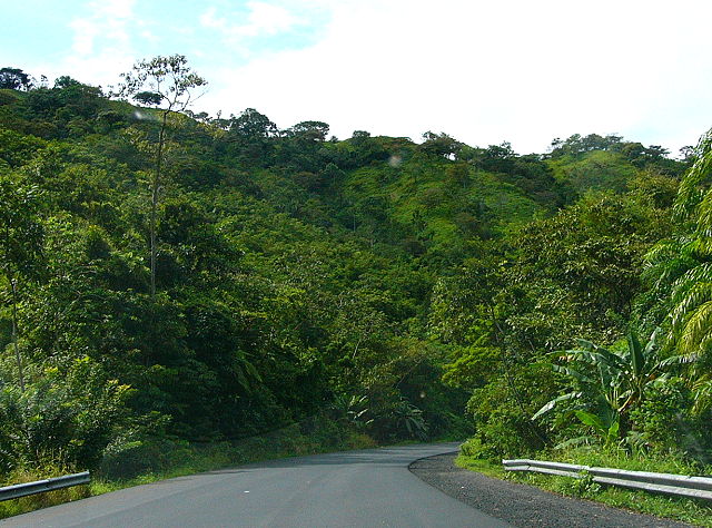
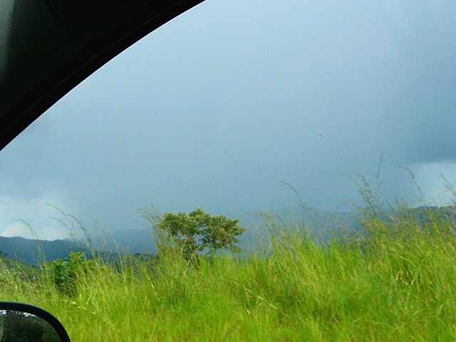
| A mountain range runs through the middle of the country. A series of smaller "foothills" run from the mountains to the coast. To get to Boquete, we needed to cut across the foothills; lots of ups & downs! | ||
|
|
||
 |
 |
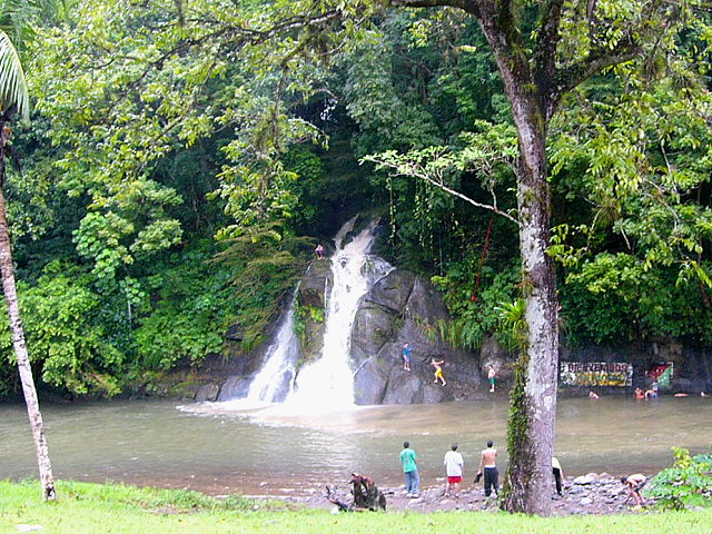 |
| There
weren't any rest stops along the road, so we decided to stop at a bar
which overlooked a waterfall. We were the only customers, but we had
to go outside since the music was so loud. We found that loud, distorted music was as normal here as it is in Venezuela... how annoying! |
||
|
|
||
 |
 |
 |
| After a quick drink we got underway again, just as it began to rain. We endured many thunderstorms and could not complain as the rain is needed to keep everything green in this tropical country. | ||
|
|
||
|
 |
|
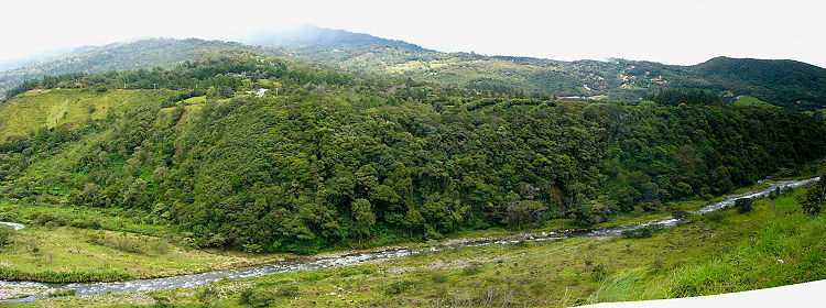
| After
going through the town of David, the road narrowed as we turned north into the
mountains. We traveled along the banks of a big river; the whole area was simply beautiful! The temperature became very refreshing, especially compared to the heat & humidity along the coast. |
||
|
|
||
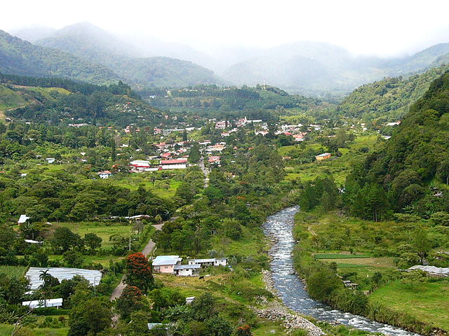
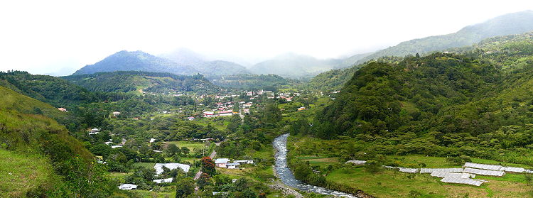 From a hill, we could see the town of Boquete in the distance. |
 |
|
|
|
||
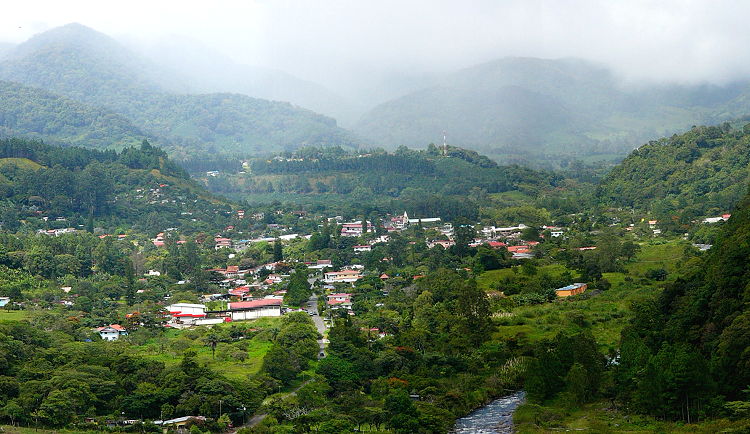 |
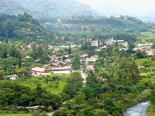 We read that many retirees from the USA are moving to this area. The homes are cheap, shopping is easy and the weather is great for many kinds of ailments. |
|
|
|
||
|
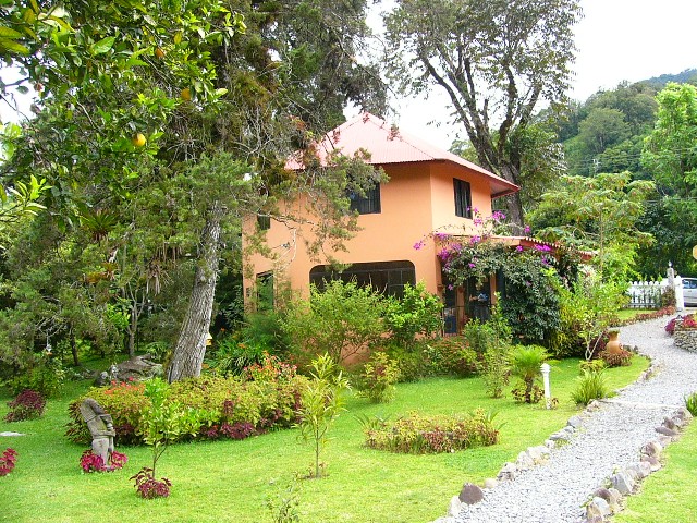
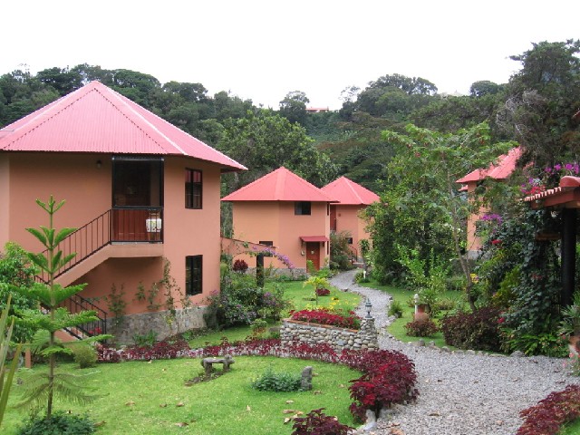
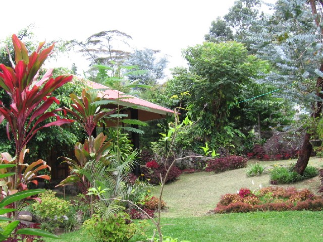
Our tour book listed many small, family-type
hotels which were of interest to us.
The first place we stopped at was new and looked well-kept. The orange building was the office & kitchen. The rooms were in the pink chalets further back. We were impressed; sign us up! |
 |
 |
|
|
||
 |
 |
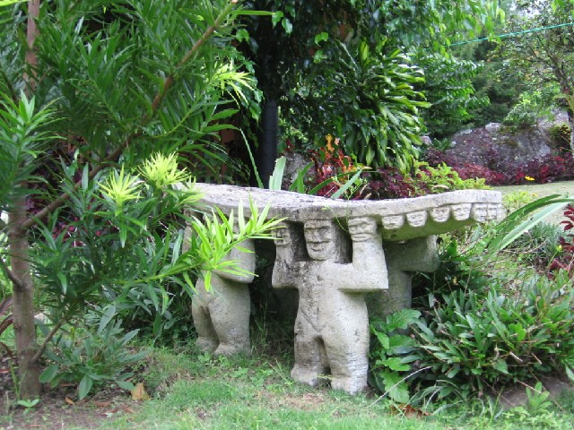 |
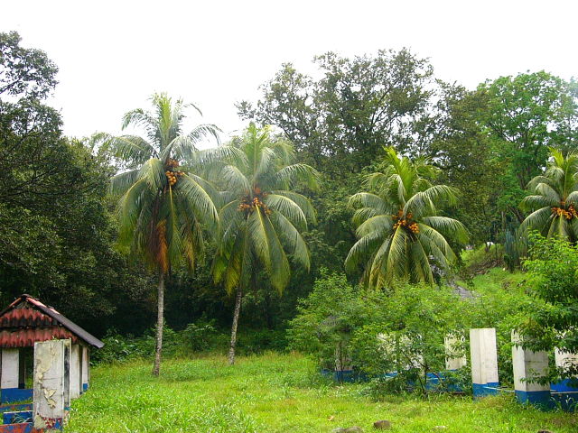
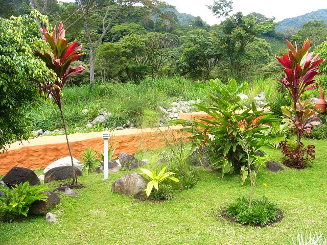
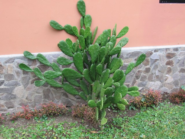
| The property had a wide variety of plants, flowers and decorations ... all from the local area. | ||
|
|
||
 |
 |
|
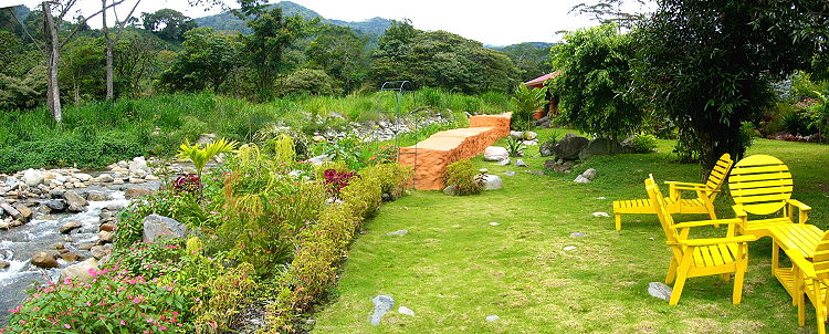
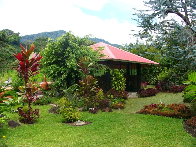
| At the very back of the property was a little river, sitting area, and gazebo ... an excellent place to relax! | ||
|
|
||
 |
 |
 |
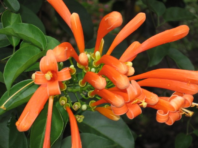
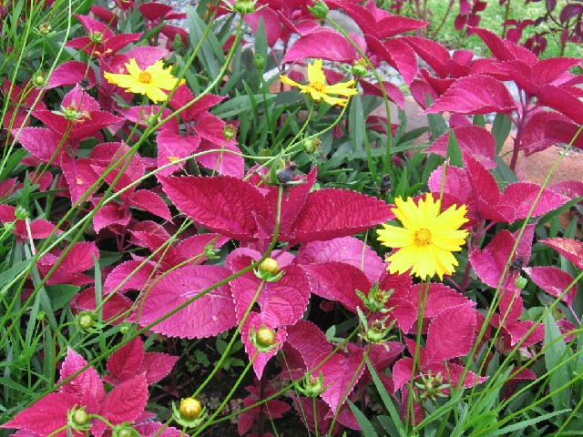
| Nicole took some flower pictures ... but too many to show here ... click here for a separate flower page | ||
|
|
||
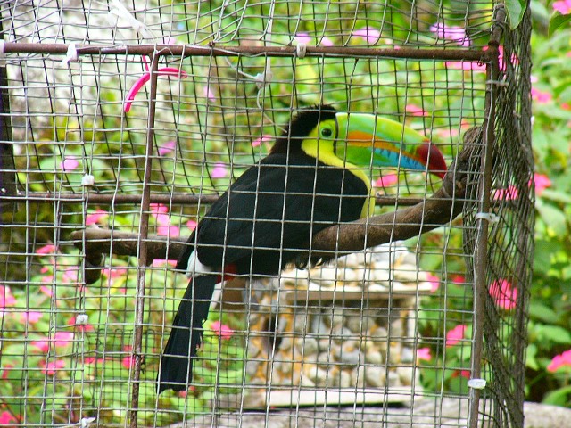 |
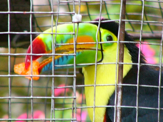
We stayed at this place for
three
days. Each morning we ate breakfast near our beautiful Toucan friend.
The bird was new to the hotel and was going through an acclimation process; hopefully it can fly freely in the future. |
 |
|
|
||
| To continue with our tour around the Boquete area ... click here. | ||
|
|
||
|
Panama City & Canal Southern Beach Boquete Mtn Bocas Del Toro Islands Trinidad Mtn & Return this page next page |
||
|
|
||