|
|
Jay's 50th Birthday Surprise (part 2 of 3) (click on any picture to get enlargements) |
|
|
|
||
|
This story continues on Friday, December 19th ... in Cape Town, South Africa |
||
|
|
||
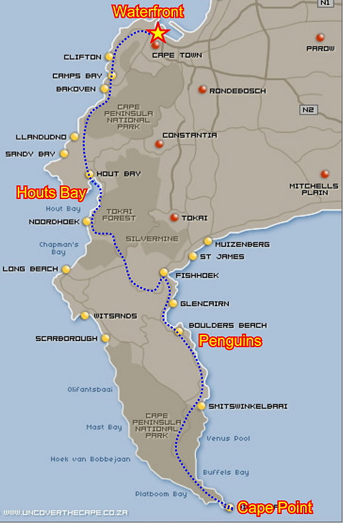
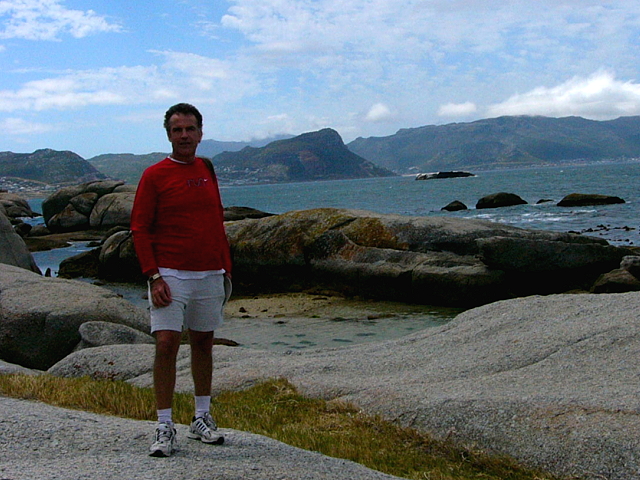
| This day began clear, but cooler, so we decided to drive down the peninsula to Cape Point ... a trip that we had enjoyed quite a few times in the past. The distance to the point was only about 50km (30 miles) but it usually takes 3-4 hours since the roads are small and curvy ... and we normally take many picture breaks. We chose the route through Houts Bay so we could check out to see if another favorite restaurant was still there ... if so, we'd stop there on the return trip. We also planned to visit the Penguins area at Boulder Beach and we hoped to stop at an Ostrich farm along the way. Many times in making plans like this, the trip that results is not what you plan ... as was the case for us today! |
|
|
|
|
||
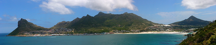
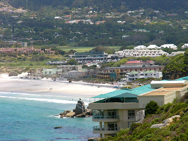
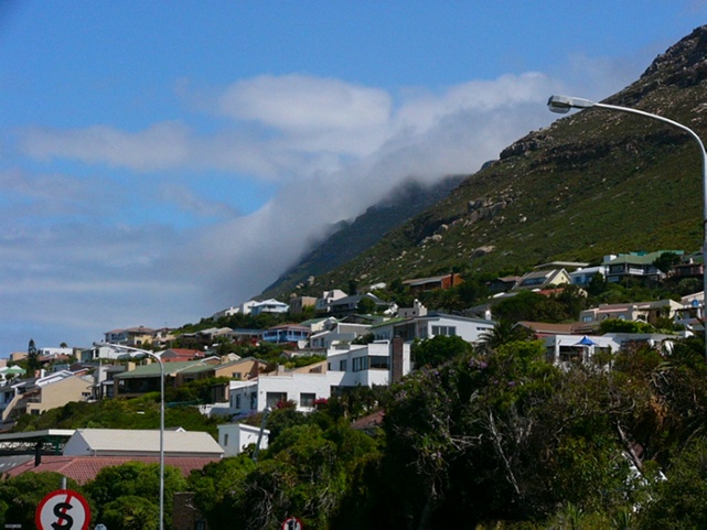
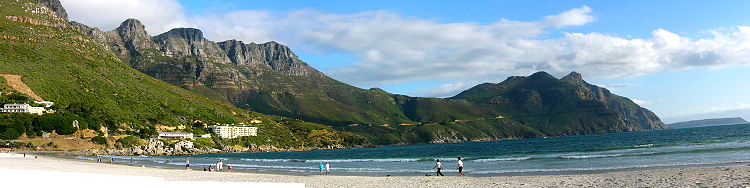
| We drove through Houts Bay; not much has changed in 4 years & "our restaurant" was still operating! | ||
 |
||
| We drove along Chapman's Peak road and stopped at a view point to look back at Houts Bay. | ||
|
|
||
 |
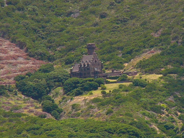
At the
end of the peninsula is a local fishing village which is quite run down.
Along the water are a few canneries and a marina for the fishing boats.
This area faces southeast and is always chilly; it only gets sun in the early part of the day. |
|
|
|
||
 |
|
|
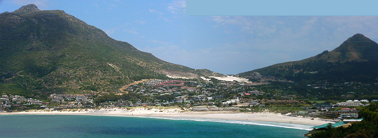
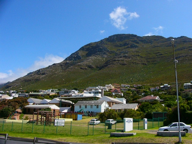
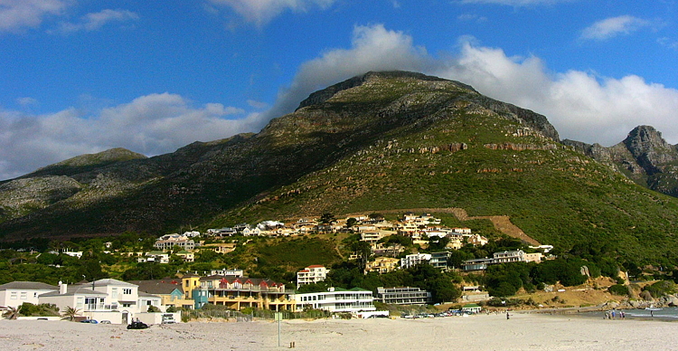
| The main section of Houts Bay is somewhat upscale and services retirees and tourists. | ||
|
|
||
 |
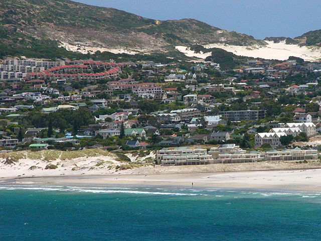
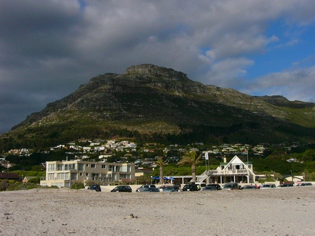
This beach area is
quite ==> |
 |
|
|
||
 |
 |
|
| We continued along beautiful Chapman's Peak road, which is much like California's Highway 1. After only a short distance, we came upon a "road closed ahead" sign ... what? It turns out the road had been closed for a long time, due to recurring landslides ... something that plagued this road for years. We had to turn back and travel through Constantia to get to the penguin area ... what a pain! | ||
|
|
||
 |
 |
 |
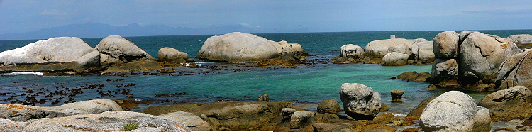
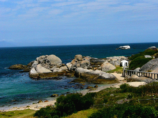
| After driving through slow traffic for what seemed like eons, we finally got to the Boulders Beach area ... which is a sleepy little place that has cute little homes and vacation cottages. | ||
|
|
||
 |
||
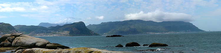
| Looking
back up the peninsula, we could see the many sea-side villages that we had passed through.
There were some tourists in the area, but we had the place mostly to ourselves. Even though it was chilly, the winds were calm and it turned out to be a nice day. |
 |
 |
|
|
||
 |
||
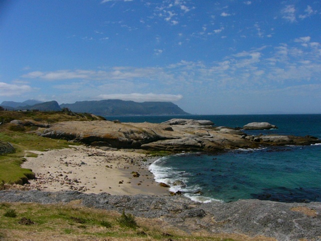
| The Cape coast reminds me of the California coast ... steep cliffs, rocky shores, cold water and kelp. I guess it makes sense since they are the same distance from the equator ... just in a different direction. | ||
|
|
||
 |
 |
|
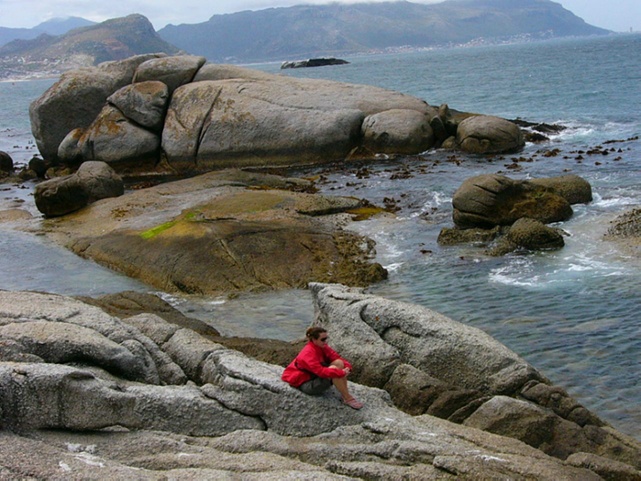
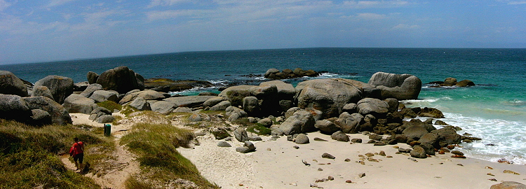
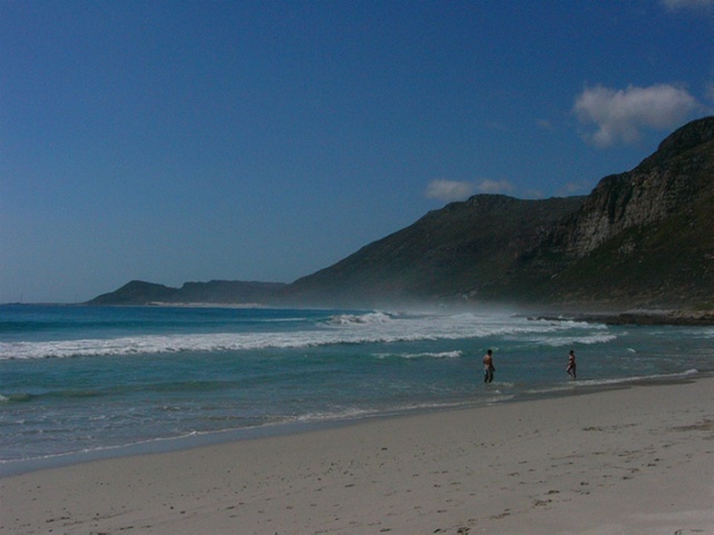
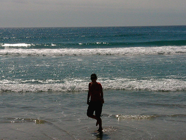
| We were tired, hungry & thirsty, so we trekked down to one of the beaches for a lunch break. | ||
|
|
||
 |
 |
|
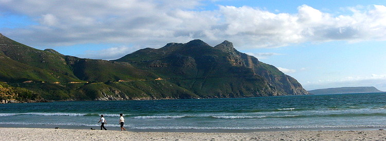
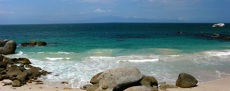
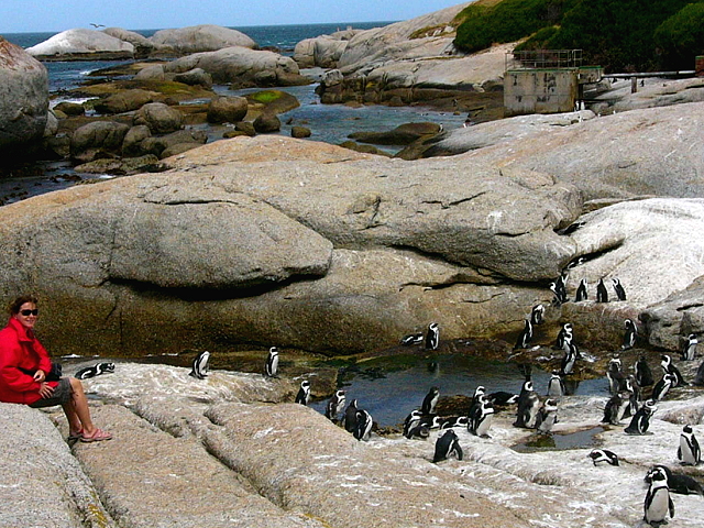
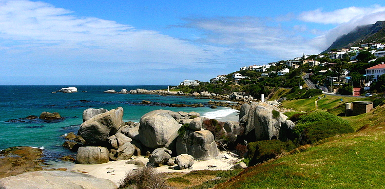
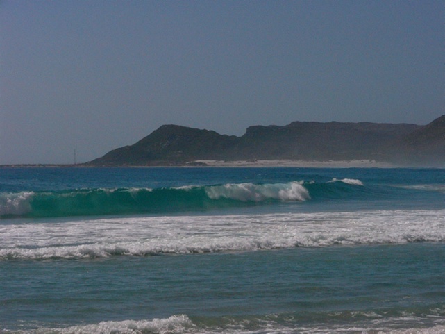
| The body of water is called False Bay, as early mariners got fooled into thinking this bay was deep and would make a good harbor. There are many ship-wrecks proving that it's way too shallow & rocky! | ||
|
|
||
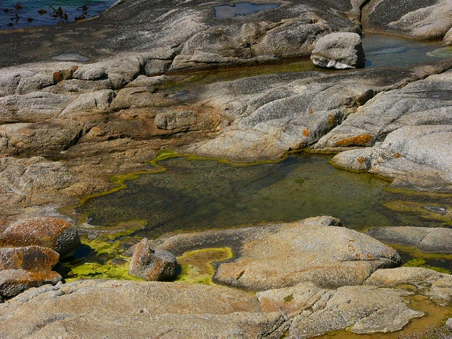 |
<== We had lunch and looked around in the tide pools for any small fish or interesting creatures. After a nice break
we ==> |
 |
|
|
||
 |
 |
 |
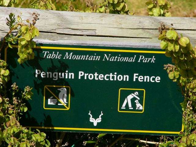
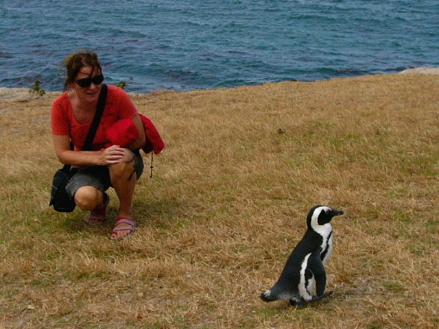
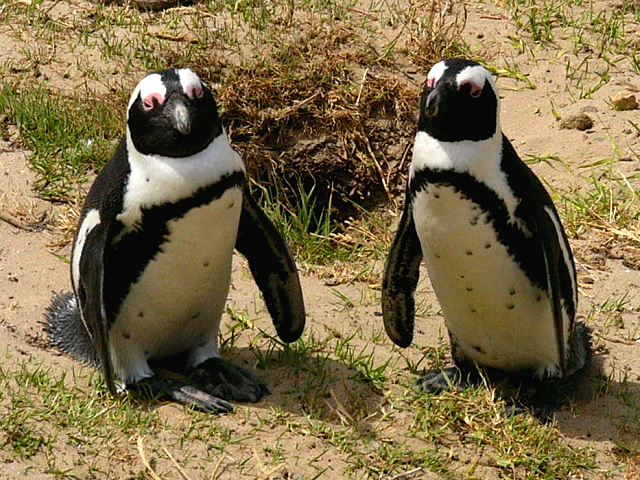
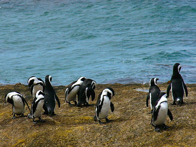
| As soon as we entered the National Park, Nicole asked a cute local guy for directions to the colony! | ||
|
|
||
 |
 |
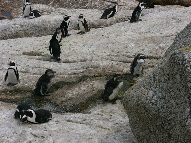 |
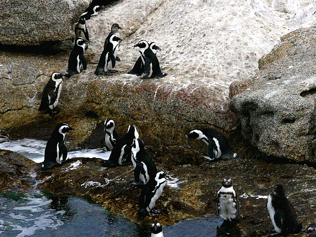
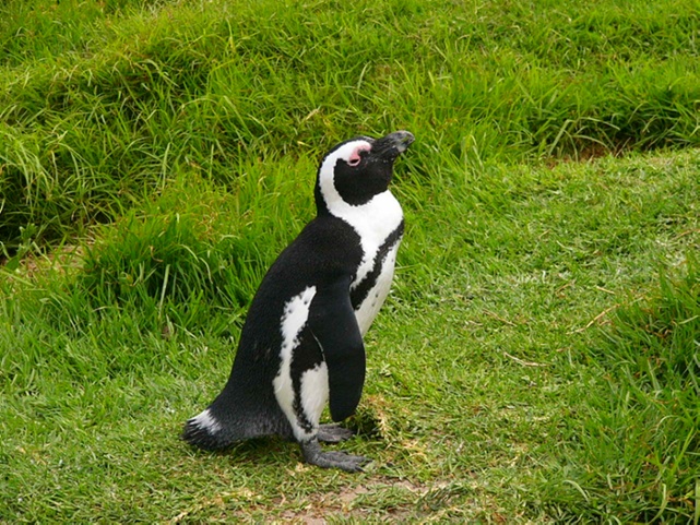
| We found the main group of penguins and just sat to watch them ... they are quite entertaining! | ||
|
|
||
 |
 |
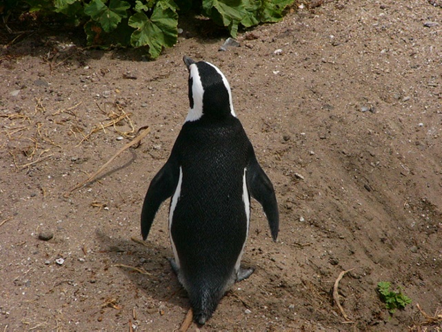 |
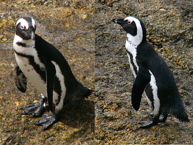
| I tried to pet a few of them, but they would only let me close enough to get some detailed pictures. | ||
|
|
||
 |
 |
 |
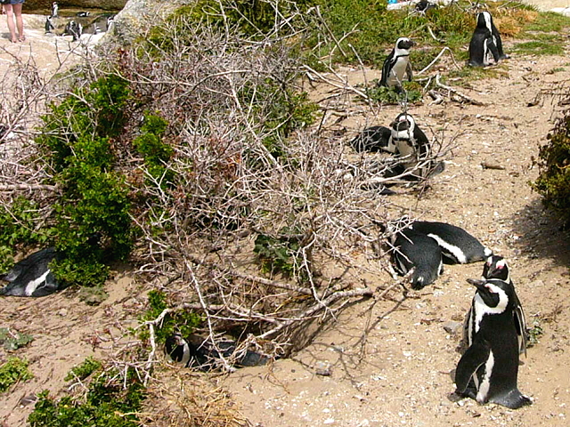
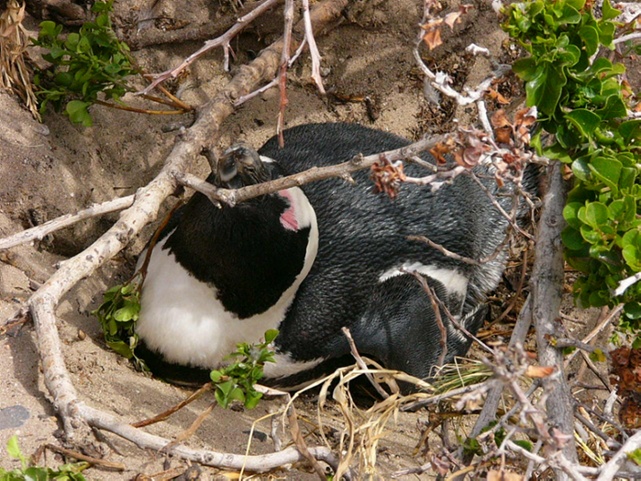
| The penguins had dug holes in the ground to make their 'nests'. Many of the couples were standing in front of their home, either guarding it or waiting for friends to stop by for a clam cocktail :) | ||
|
|
||
 |
 |
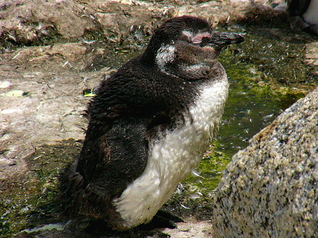 |
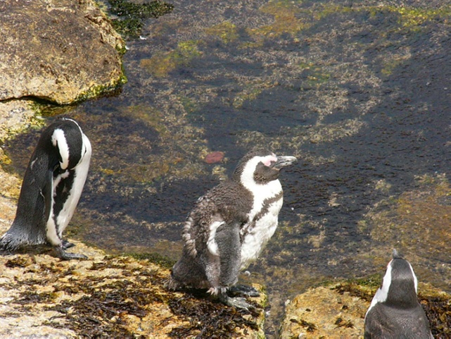
| The babies were hilarious to look at and to watch; they constantly wanted food from the parents. They were much bigger than the rest of the group, due to their thick layer of downy feathers. | ||
|
|
||
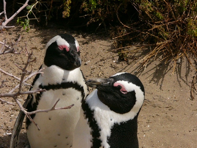
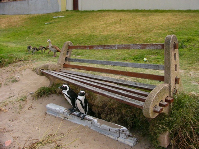
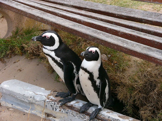
| The
couple to the right look like they are having a relaxing time by the park
bench, but their nest is just behind the cement block.
The area is a protected park, so no enhancements or repairs can be done if the work might disturb the inhabitants.
|
 |
 |
|
|
||
 |
 |
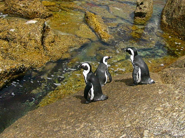 |
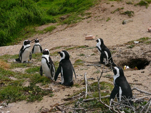
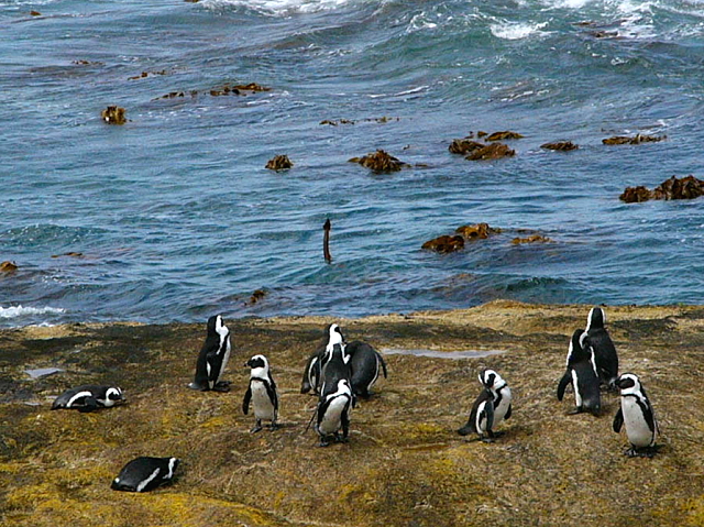
| The penguins went in and out of the ocean as a group, probably for protection from sharks, etc. Most entered when a big wave was receding, while others entered via the calmer waters behind rocks. | ||
|
|
||
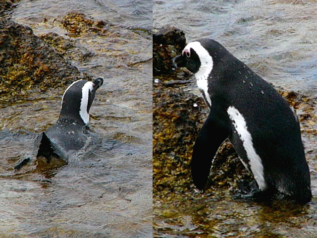 |
When they
were in the water, they could float like ducks or go under and swim as fast as
fish.
When it was time to get out, they pushed themselves upright and just waddled up the shore. They would shake off the water like a dog and stand in the sun to dry; very entertaining to watch! |
 |
|
|
||
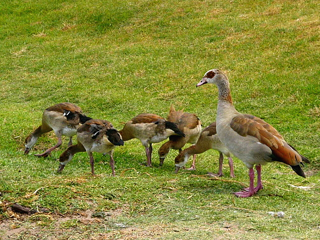
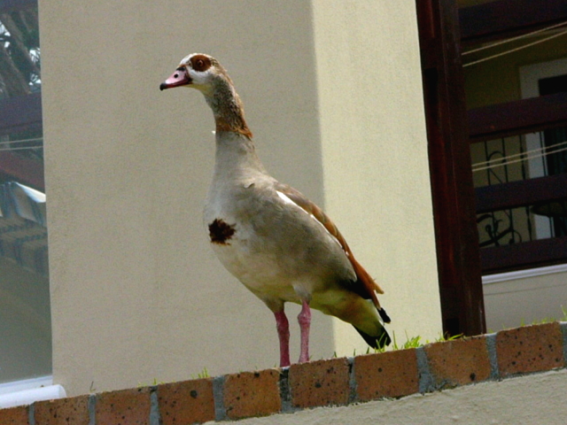
| There was
also a family of geese hanging around. The mother was with the youngsters, while the father watched from a wall.
Due to the harsh climate, there wasn't too much wildlife to be seen ... unlike in the game reserves in the northern part of the country. |
 |
 |
|
|
||
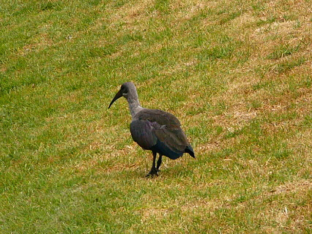
| One of
the funniest birds in South Africa is the hadida, which makes an unbelievably
annoying sound ... almost like a loud cackling witch.
I always hated that noise at the golf course, as I didn't know if it was from the birds or if someone was laughing at my play :) |
 |
 |
|
|
||
|
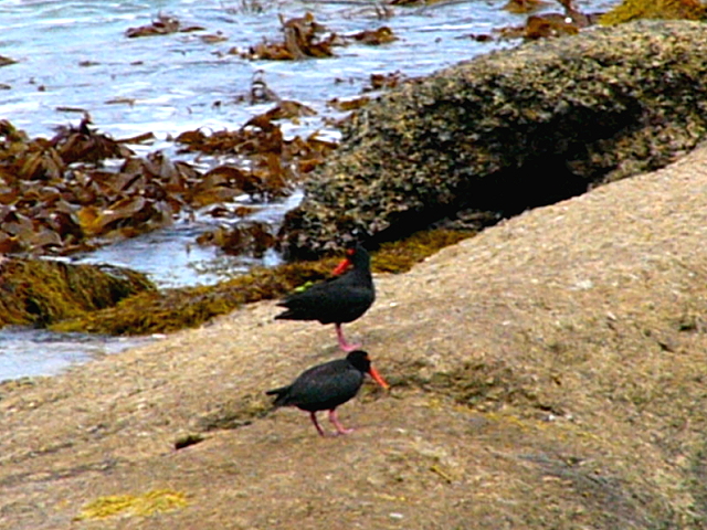
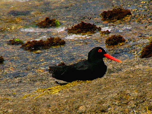
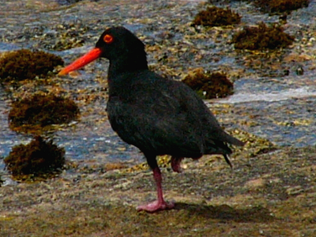
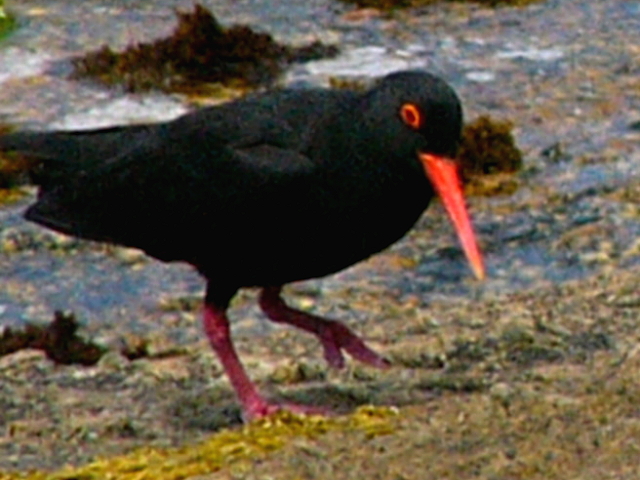
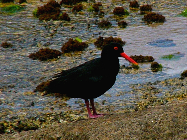
These striking birds are African Black Oystercatchers. We were lucky to see any, as they are quite rare ... there may be only 5000 left in the world. They don't actually eat oysters, but reach under the water or into the sand to get mussels and other little creatures. |
 |
 |
 |
 |
 |
|
|
||
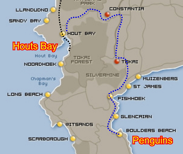
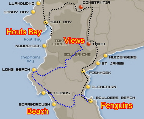
| We
said goodbye to the animals and left
the area. We
spent a lot of time here, which meant we didn't have time to go all the way down to Cape Point.
Our new route took us along the blue line on the map below. We cut across and spent some time at Scarborough beach. After that we drove along the coast and got some nice views as we headed back towards Houts Bay. |
 |
|
|
|
||
 |
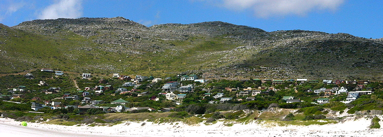 Scarborough is a small cluster of holiday homes with a nice view. |
|
|
|
||
 |
 |
 |
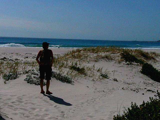
| We had to walk over sand dunes to get to the secluded beach, which was very picturesque! | ||
|
|
||
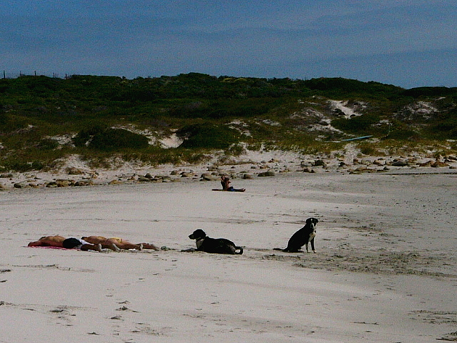 |
<== There were more dogs on this beach than people. Nicole attempted to
swim but ==> |
 |
|
|
||
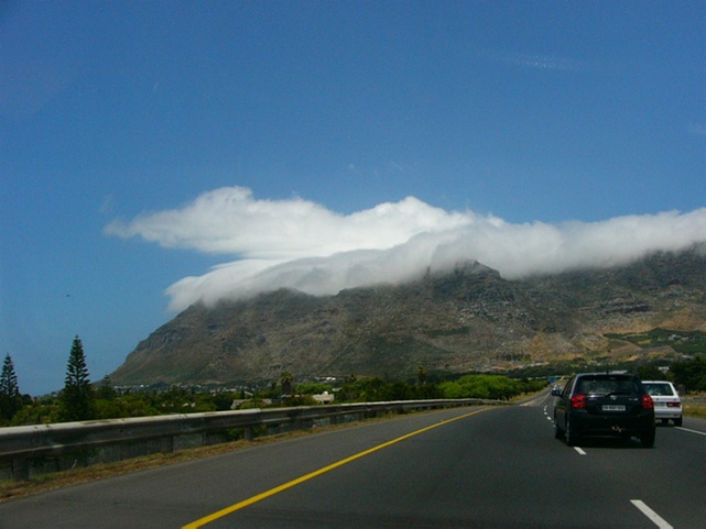
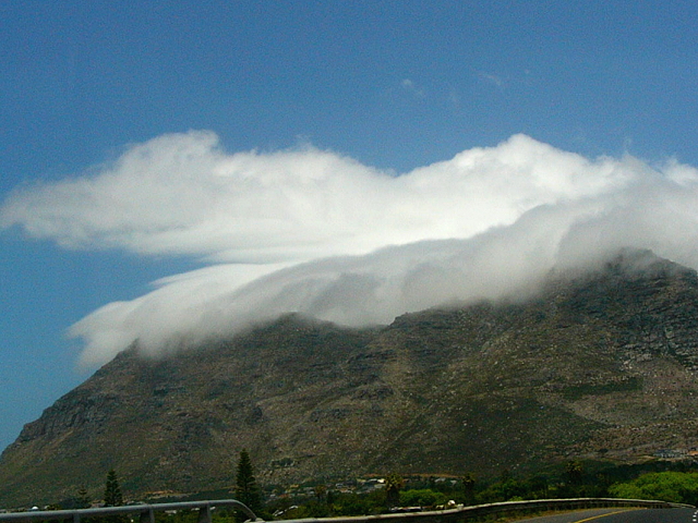
| We left
the beach and followed a coastal road we had never been on before. We then
headed inland over a mountain range.
We could see another type of "table-cloth" forming ahead. It was pretty, but I didn't want to drive through fog ... luckily we passed over further to the right. |
 |
 |
|
|
||
 |
||
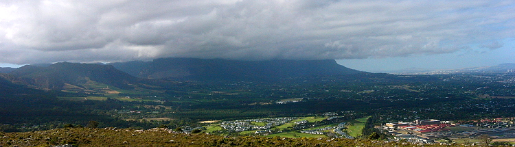
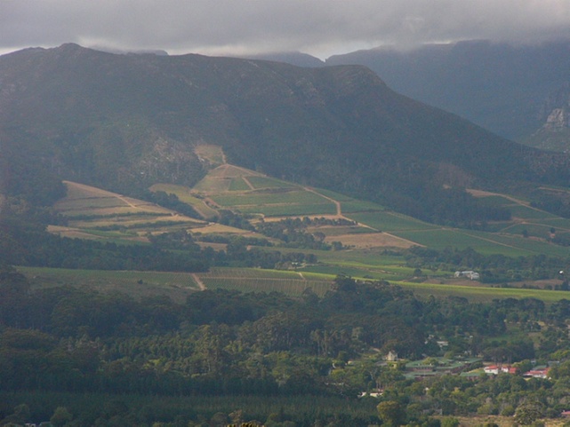 |
We
stopped at the summit and got a great view of the Cape Basin.
Above and left are the Constantia vineyards and their glorious estates. The exclusive Steenberg golf course vibrant green. Table Mountain is covered with clouds, so you cannot see it's flat top. Cape Town is just on the other side of the mountain. Just on this side of the mountain is the Rondebosch area and it's plush mansions; this is where the government officials live and where embassies have their residences. |
|
|
|
||
 |
 |
|
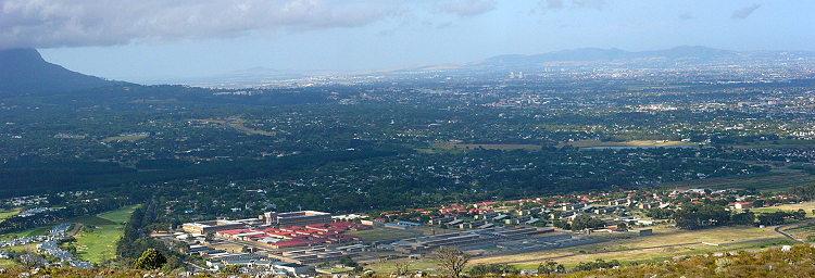
| Looking a little more to the right, you can see the transition to the middle-class & industrial areas. | ||
|
|
||
 |
||
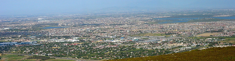
| Way to the right brings the lower class townships into distant view. These areas are much more crowded and have few trees/grass. Many, many years ago, the poor people were displaced to these locations to make room for the expanding Cape Town city center and industries. This "separation of classes" is an unfortunate remnant of apartheid and is virtually impossible to change. | ||
|
|
||
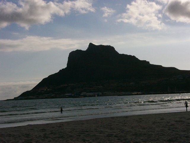
| We made
our way back to Houts Bay in plenty of time for the sunset; luckily the
traffic wasn't as bad as it had been earlier.
This beach area used to have 2-meter tall sand dunes. We later found out that the dunes were leveled because too much sand was blowing into the city. In reality, I bet that someone was willing to pay a lot of money for a few tons of nice clean sand! |
 |
|
|
|
||
 |
||
| The sun angle gave good lighting to Chapman's Peak road. The drive is really nice and we were disappointed that it was closed. It will be interesting to read if/when it ever opens back up. | ||
|
|
||
 |
 |
 |
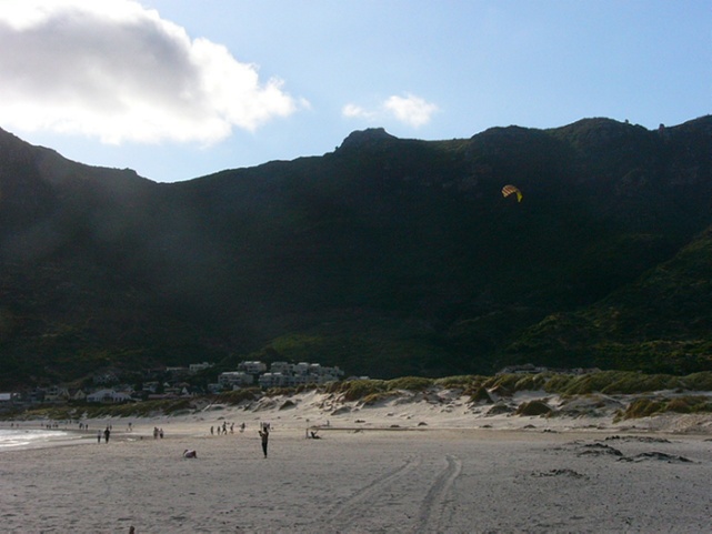
| The sun began to sink and we could tell that the hill would block any view of the sunset ... so we decided to go to dinner. This evening we plan to shop and get some of the shopping list items. | Our
favorite restaurant in this area is called "The Dunes" ... no longer an appropriate name! |
|
|
|
||
| The activities on this day took up a lot of room & we need to transition to the last page ... click here | ||
|
|
||