|
|
||
 |
Jay & Nicole Visit Australia (click any picture for enlargement) |
|
|
|
||
|
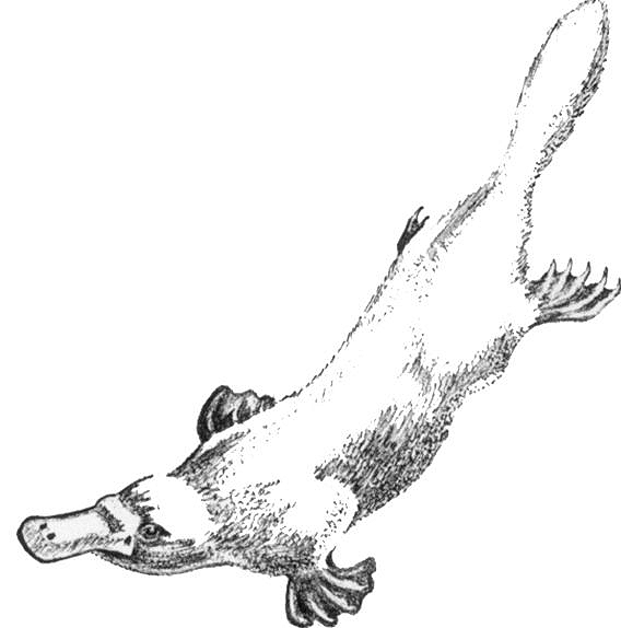
Our trip to Australia is now entering its 4th and final week. This story picks up as we leave Airlie Beach and head towards Byron Bay on our way back to Sydney; it will take a few days to travel the 1200km to get there. For the return trip, we decided to go inland and avoid taking the same roads as we took going north. This way we will see a few new places and hopefully save time by avoiding Brisbane and the slower coastal roads. Our first point of interest will come within a couple hours, as we are going to the Eungella National Park ... which is home to a strange little creature that we'd really like to see ... the Platypus! |
|
|
|
|
||
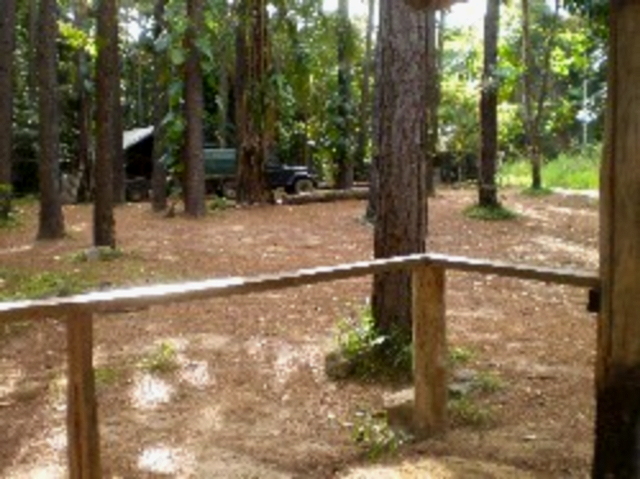
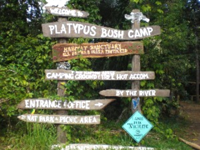
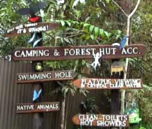
| The
boat crew recommended the Platypus Bush Camp, which is located in a valley
just before the mountainous park.
These pictures are from their brochure ... it looked rustic, but we'd be comfortable in the van. |
 |
 |
|
|
||
 |
 |
 |
|
The platypus is
shy creature that looks like a cross between a duck and beaver ...
weird! |
||
|
|
||
 |
 |
 |
|
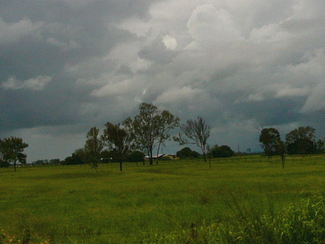
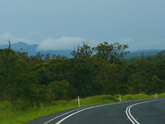
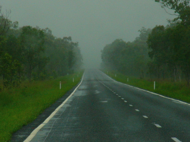
The trip out of Airlie went smoothly and we made good time, but there were dark clouds all around. |
||
|
|
||
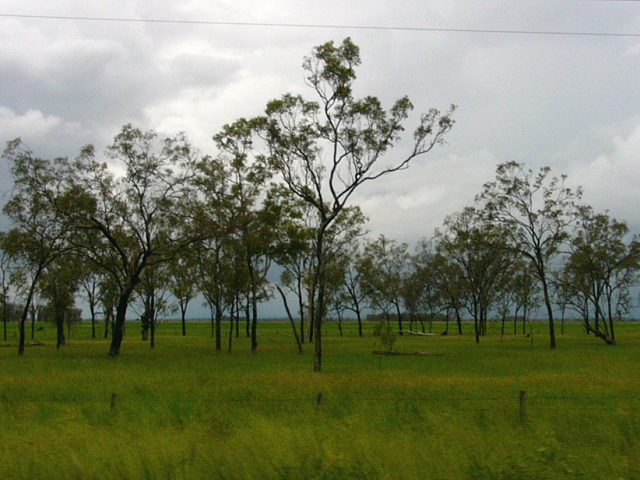
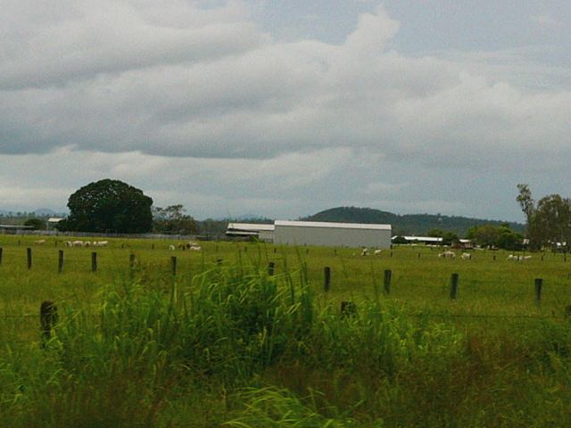
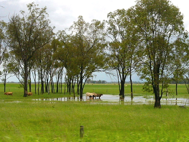
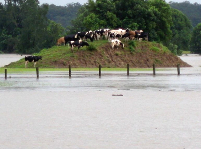
| We
passed a few big ranches; most of them had pools of water sitting in the fields.
They must have been hit pretty hard by the storms that rained on us while we were sailing; luckily the storms seem to be staying ahead of us. |
 |
 |
|
|
||
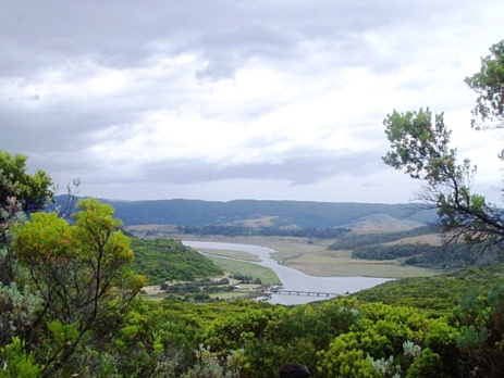
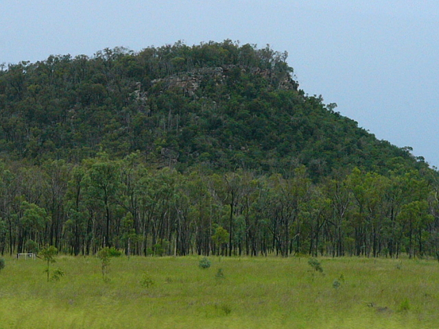
 |
 |
 Internet pic of the valley we were entering, with mtns all around. |
|
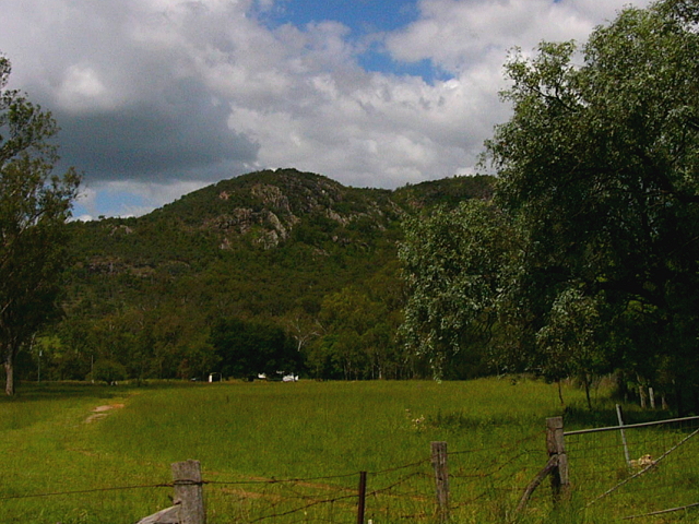
We turned inland and towards the Eungella Mtns, following some shortcuts from the GPS device. |
||
|
|
||
| Nicole
was doing some reading on the Eungella National Park area. Aborigines
called it "the land where clouds lie over mountain" ... and it gets
2 meters (6+ feet) of rain each year.
To analyze the situation: The rain that falls on the mountains has to flow somewhere ... probably down into a valley ... which was where we were ... and is why we suddenly came to a flooded road. The kids said that it may take all night for the water level to go back down ... so we turned around and took a different road.. |
 |
|
|
|
||
 |
 |
 |
|
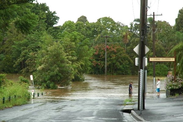
The rain actually never hit us, but every route we took had a flooded ending ... should we try to cross? |
||
|
|
||
 |
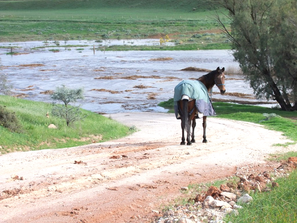 |
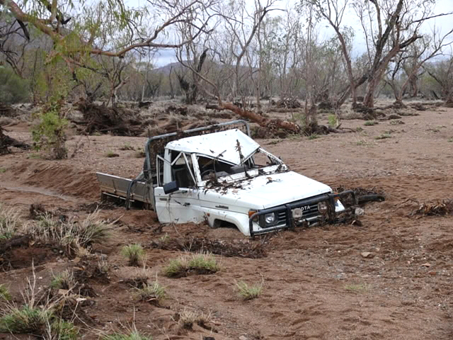 |
|
Since the animals seemed to think that the water was dangerous, and since we didn't want to end up like this truck did during a recent flood, we decided to turn around and find yet another way. |
||
|
|
||
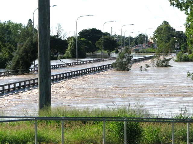
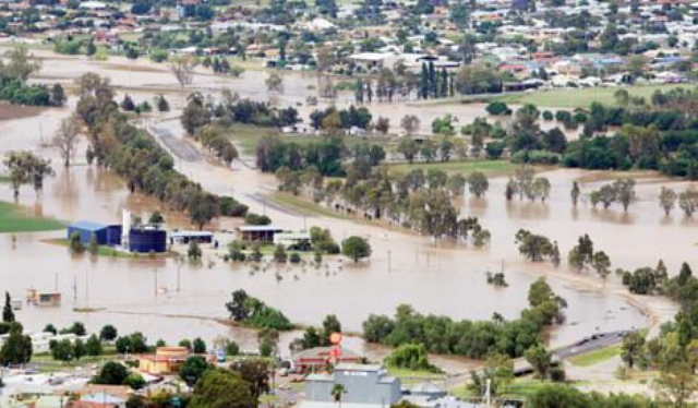
| We
were getting very frustrated when a local told us to go back and take the
major road ... since it had a big bridge. From that point we turned off
the GPS and began using the map.
From up in the hills we could see the flooding problems ... and we could see the bridge we want! |
 |
 |
|
|
||
| We
spent a lot of time before we made it across the valley. We
then had trouble finding the road to the bush camp; the instructions and signs
were terrible! Only
after driving down every possible road, and crossing multiple wash-outs, did
we finally find the camp.
It was dark and we initially thought the many camp signs were funny, but then we couldn't find any buildings or signs of people. After walking across a rickety bridge, we finally found an old man having dinner in a ramshackle hut ... it was Wassi, the owner! He wasn't friendly and didn't like my complaints about the bad directions. He said that we could pay to use the parking lot, but he had no electricity ... which would not be good for the stuff in the fridge. On top of that, there was high humidity, lots of bugs and a threat of rain ... which could strand us here for days. Even though we had spent a whole day getting to this place, we left and sadly gave up on seeing the Platypus. We had to backtrack, in the dark, for a long way before heading south again. We then stayed at the next campground we came upon ... not a good day :( :( |
  |
|
|
|
||
 |
 |
 |
|
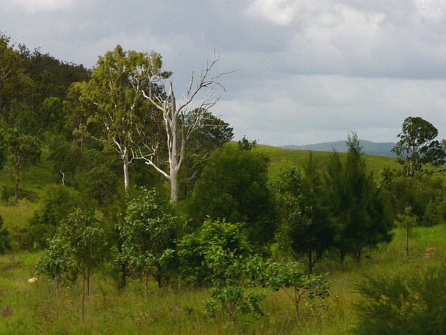
The next day we got up early and continued our journey south, via more inland highways. |
||
|
|
||
 |
 |
 |
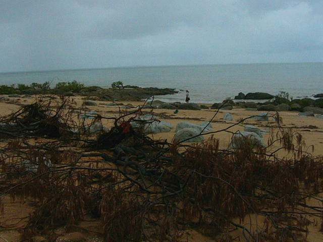
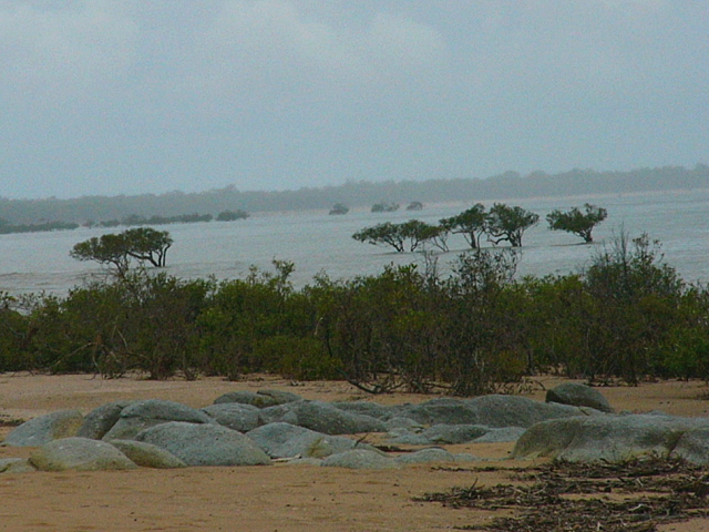
| We got back to the coast and saw storm debris on the beach. |
A big river mouth is nearby, which is causing high water. |
All Nicole could see was mucky brown water ... yuk! |
|
|
||
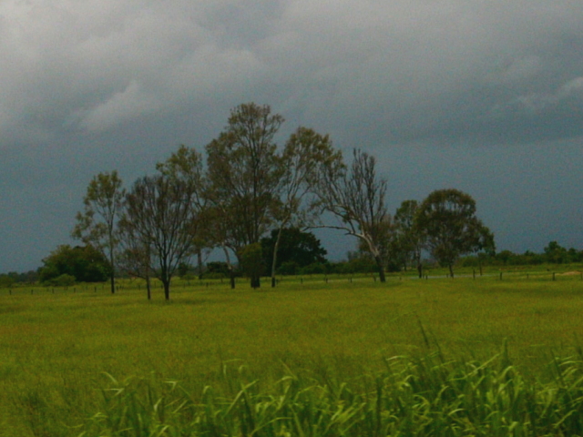
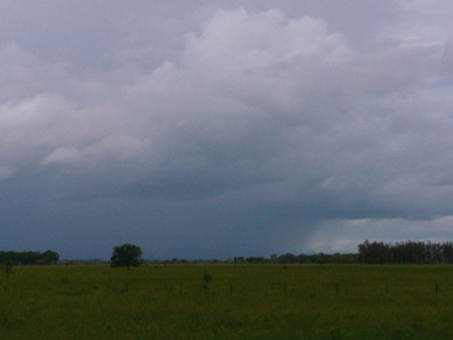
| As
we continued south, we saw periodic thunderstorms ... some looked pretty
nasty!
It seems that we are still in the "tropical area" and this is the monsoon season ... which means heavy daily rains. |
 |
 |
|
|
||
 |
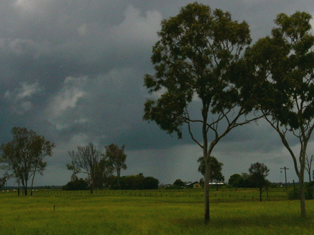
<==
We were lucky to stay out of the rain ... but then the road turned
towards the storm.
We came upon a
rain wall, ==> |
 |
|
|
||
|
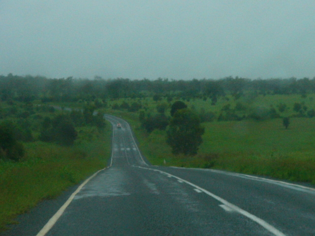
The weather began to get a little better by nightfall and we camped near a small place called Taroom. We awoke to semi-clear skies and a forecast of nice weather ... we were finally out of the tropical monsoon area ... since the Great Barrier Reef was no longer affecting the ocean currents. |
||
|
|
||
 |
 |
 |
|
The next morning was much clearer and we got to look around the town ... nice! |
||
|
|
||
 |
 |
 |
|
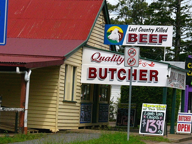
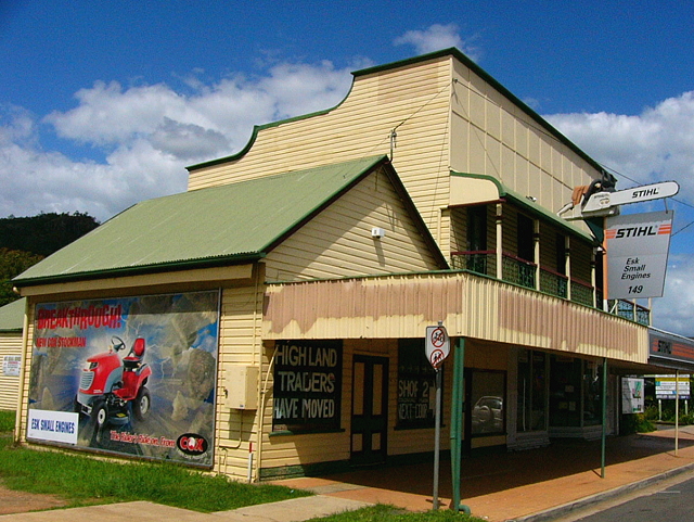
We passed thorough quite a few small towns, all which reminded me of the "Frontier Days". |
||
|
|
||
 |
 |
 |
|
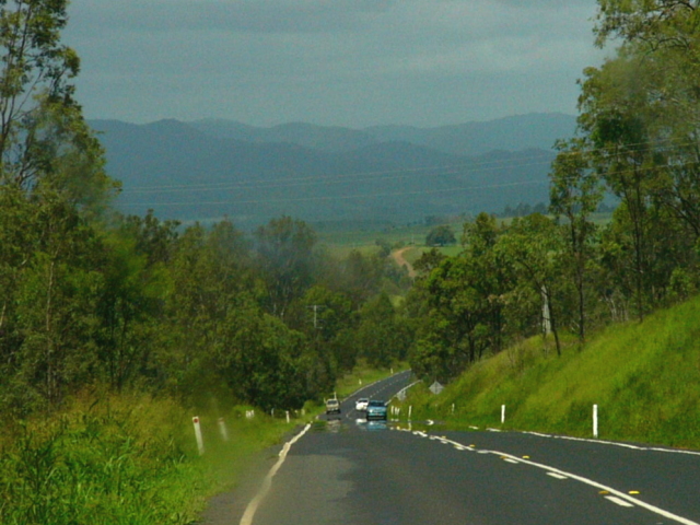
We covered a lot of miles today and only came upon a few slow, hard to pass, trucks. |
||
|
|
||
 |
|
 |
|
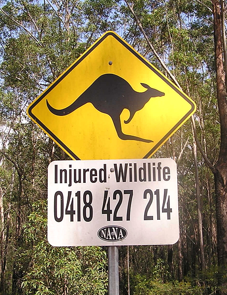
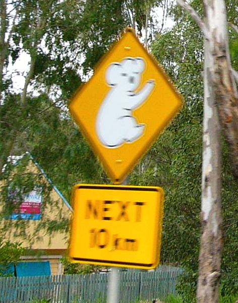
The periodic "animal crossing" signs were interesting ... we looked, but didn't see any animals. |
||
|
|
||
 |
 |
 |
|
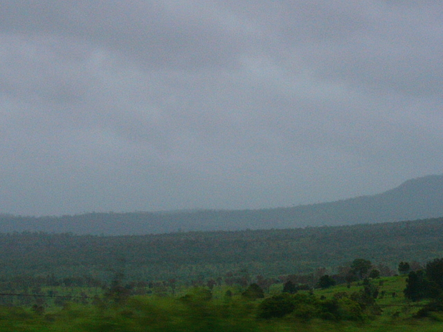
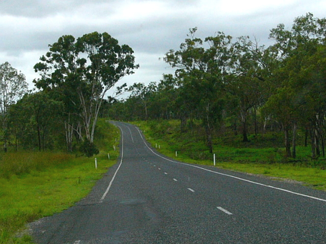
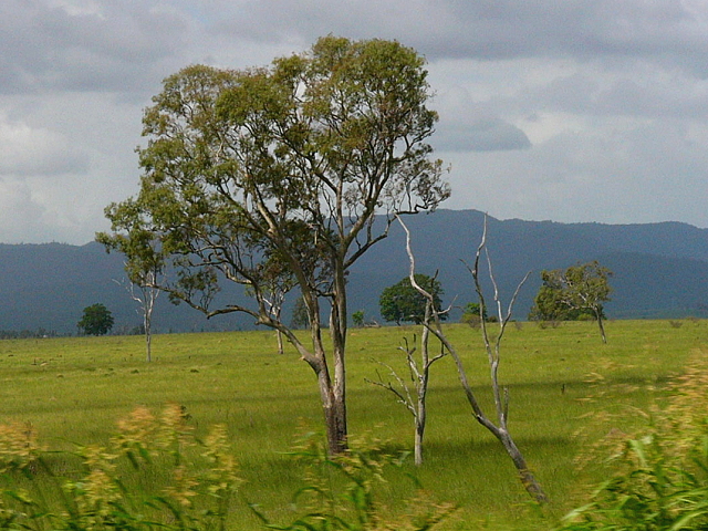
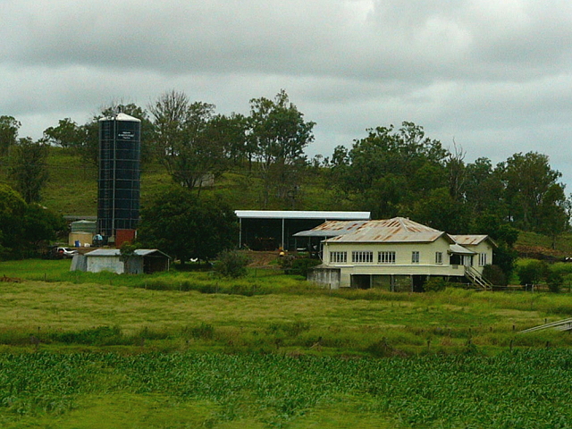
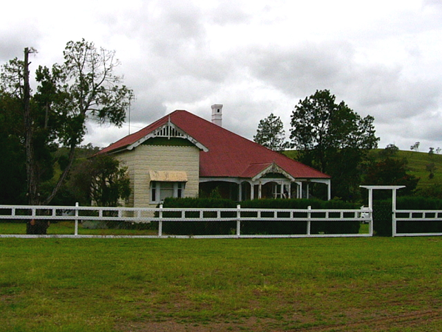
The landscape was continually changing ... from hilly to plains ... and then back to hilly, etc. |
||
 |
 |
 |
|
|
||
 |
 |
 |
|
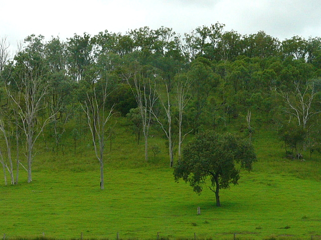
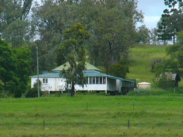
The farms and ranches we all quite spacious and impressive ... again, like a colonial storybook! |
||
|
|
||
 |
 |
 |
|
The cattle seemed to be "free-range", which is probably why Australia had good dairy and meat. |
||
|
|
||
 |
 |
 |
|
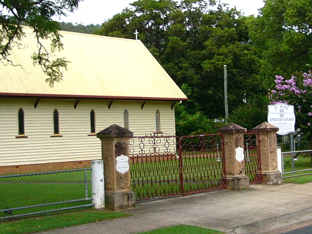
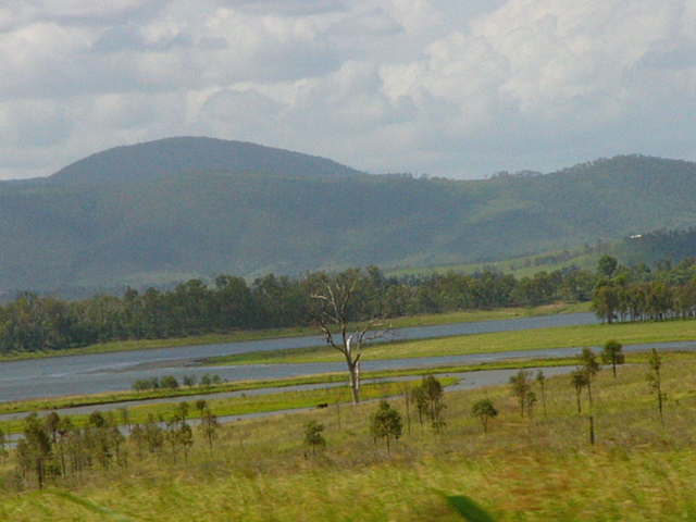
As we neared Byron Bay, we came along wetland reserves ... and a few nice retirement areas. |
||
|
|
||
|
||

